The Mountains of Beara
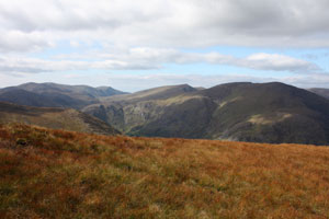
The Beara Peninsula is made up of two mountain ranges. Firstly the Caha Mountains, which start at the Caha Pass and finish at Maulin. Then we have the Miskish Range which takes us to the western tip of the peninsula. I have long been fascinated by these mountains, the changing colours and the complexity of the valleys and hills. Take the Clogher Valley for example, hidden from view one has to climb steeply to sample its delight and be rewarded. Here are some pictures I have taken
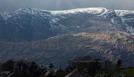
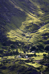
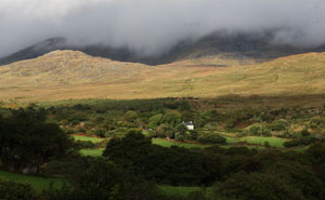
Hungry Hill with the rooftops of Adrigole
|
 |
 |
 |
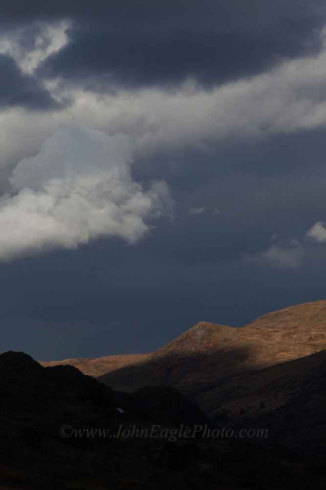
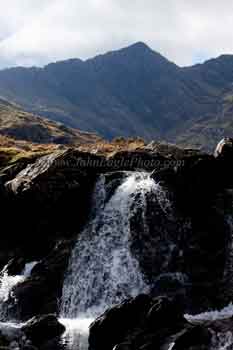
Cumeengadhra, Kerry
|
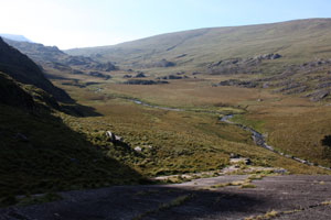
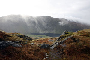
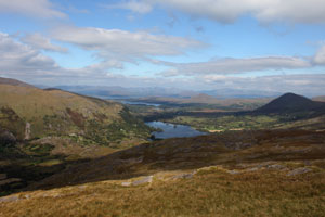
View from the Pocket to the Healy Pass
|
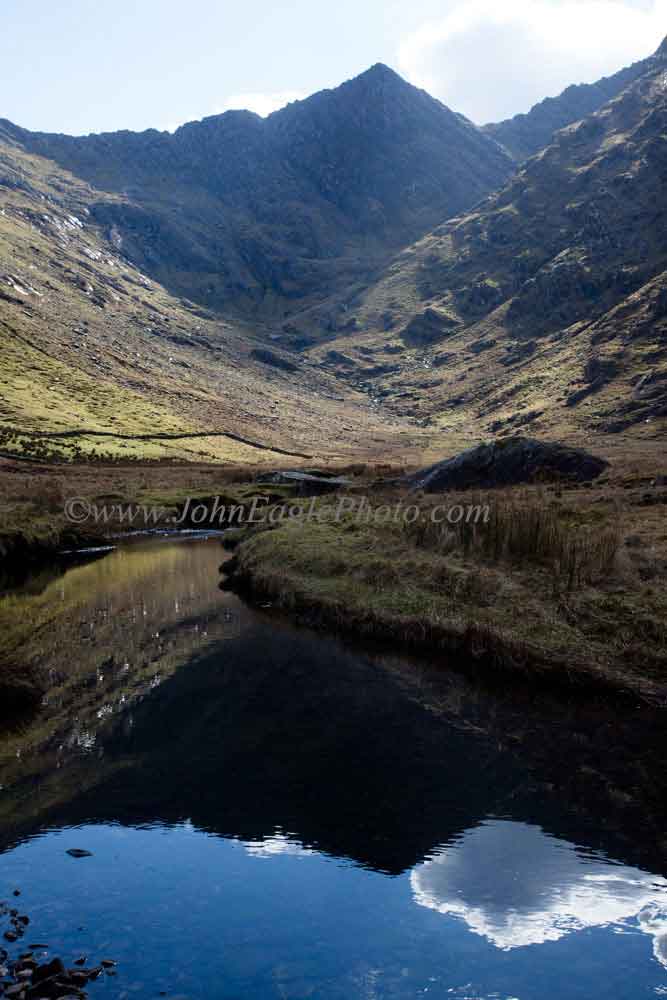
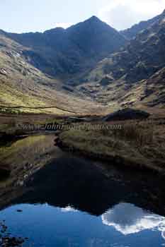
Cloud reflection Cumeengadhra, Kerry
|
 |
 |
 |
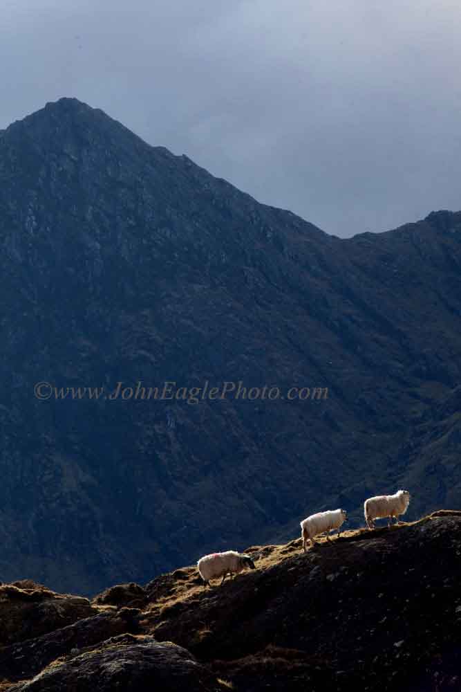
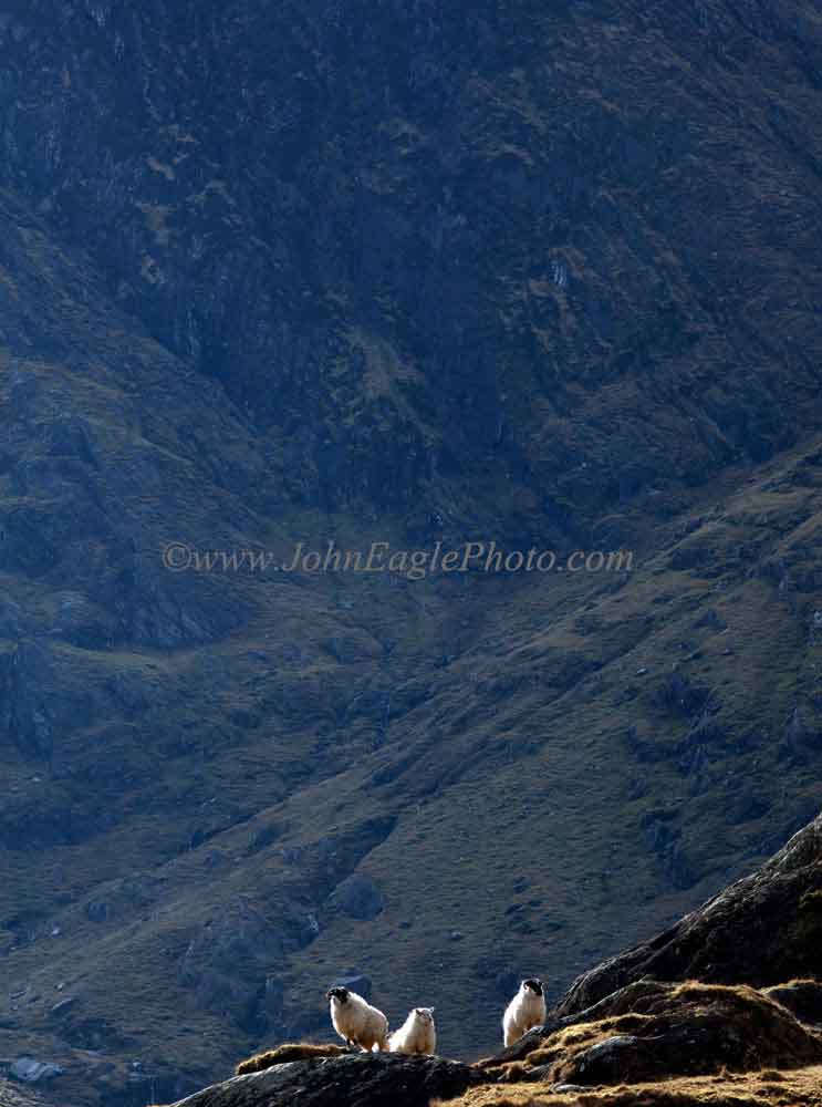
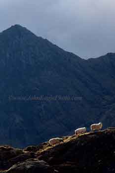
Ascending sheep Cumeengadhra, Kerry
|
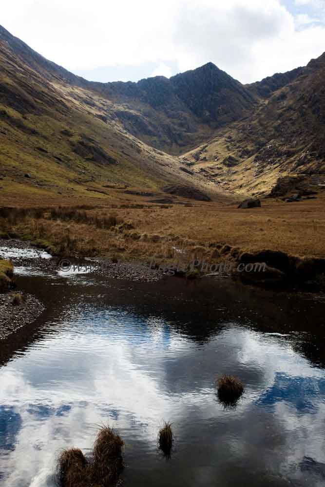
Cumeengadhra, Kerry
|
Watching sheep Cumeengadhra, Kerry
|
| Cumeengadhra is a deep valley off Glanmore in County Kerry on the Beara Peninsula. At the very back are some ruins, and the scene of an infamous murder that happened in the middle of the 18th century. With its towering peaks and cascading waterfalls, and remoteness it is one of my favourite locations to escape to and take pictures |
 |
 |
 |
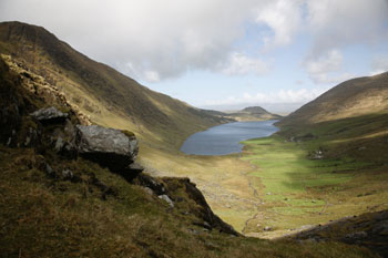
| View from the Healy Pass looking into Glanmore above the lake |
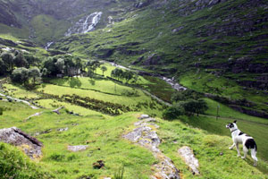
Cumeengadhra, Valley of the Hound, a stunningly beautiful valley with ruined village and cascading water |
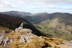
The Clogher Valley, a hidden delight for walkers who want to get away from it all. Every entry involves a steep climb, but when you get there it is so calm and relaxing |
 |
 |
 |
| The Ordnance Survey map for this area has it wrong. It claims the Pocket is in Cumeengadhra when in fact it is at the far end of the valley after Glanmore Lake |
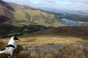
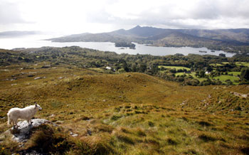
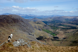
Suzie overlooking Glanmore |
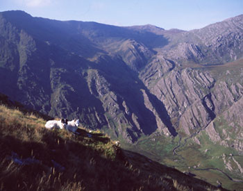
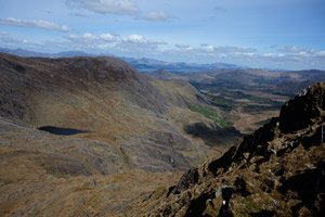
High up on the ridge between Adrigole and The Pocket looking towards Glenbeg in the distance |
 |
 |
 |
| The Pass of Bofikil |
Maulin |
Glenbeg |
 |
 |
 |
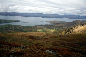
| Looking into Ardgroom Harbour, with the Kenmare River and Kerry Hills in the distance |
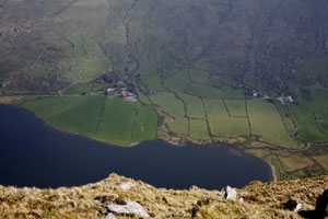
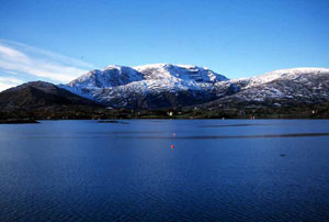
Glenbeg Lake |
My collie Quisha looking down on Glengarriff from high up on the ridge to the north |
 |
 |
 |
| Looking into the Pocket |
A different view of Glanmore Lake to what one normally sees |
Looking into Glenbeg from the summit of Lackawee |
 |
 |
 |
| Cumeengadhra |
Hungry Hill from across Adrigole Harbour |
Cumeengadhra |
| |
|
|